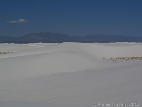
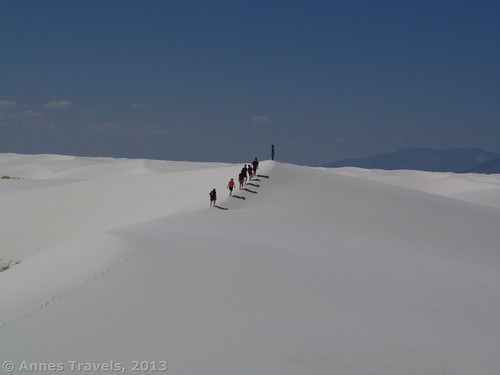
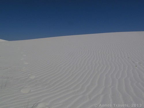
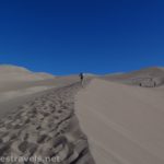
Many people think of White Sands National Monument as a place to spend an hour or less driving the scenic drive and enjoying the peacefulness of the sand – or a place for kids (and kids at heart) to have fun sliding down the sand dunes. While both of these are great uses of the national monument, I found out that White Sands is also a great place for hikers (especially hikers with a GPS in hand!). After sliding on the slopes for a bit, we took off across the sand dunes. It’s so peaceful and quiet out there, and it’s easy to feel you’re alone. There is also so much to discover: plants that somehow survive in the harsh sand, pretty rippled sand patterns, and even rough sand sculpted by the wind – and the scenery changes slightly every time you visit! I’d guess I could spend a couple hours at least exploring before coming back to my vehicle.
You can start your hike anywhere. I started on the far side of the Dunes Drive, not far from the parking area for the Alkali Flat Trail (actually, we kept crisscrossing the trail on our hike – no big deal, but I wouldn’t start so close to an established trail next time). I do recommend that you begin your hike after the Backcountry Camping Area, as before this the sand dunes have quite a bit of vegetation growing on them. Not only does this make walking in bare feet difficult (like I enjoy at White Sands National Monument), but it also damages the vegetation and creates barriers that are annoying to try and walk around. A map of the Dunes Drive can be found at http://www.nps.gov/whsa/planyourvisit/upload/Dunes_Drive_with_blackband_1_20_2012.pdf
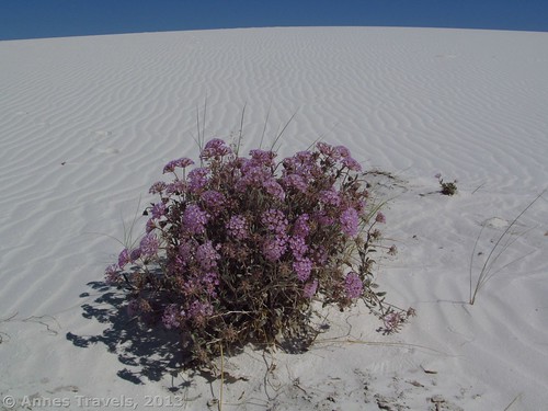
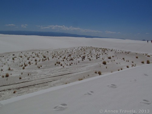
We parked in a small pullout that looked like a wide spot in the road – cars could still easily get around us, but no one was going to be able to park near us because of the size of the pullout. I set the GPS, we scrambled up the sand dune, and we were off – in whatever direction we wanted to go. For the most part, we tried to follow the tops of the dunes, though occasionally we’d jump or slide down the dunes for a little stroll through a flatter, less sandy area. These flat areas between the dunes are very interesting because they offer an array of plant life. Yucca-type plants grow in abundance, as do grasses and some flowering plants. I found a couple of pretty pink flowering plants that were lovely against the white of the sand. The video below was taken from atop one of the sand dunes.
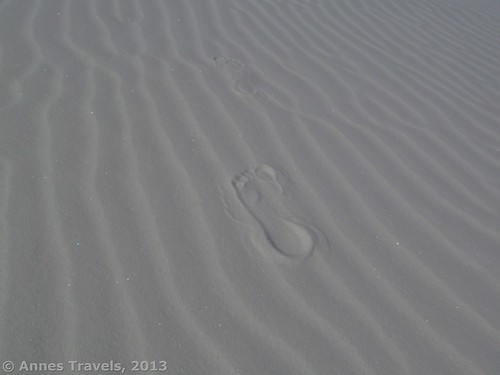
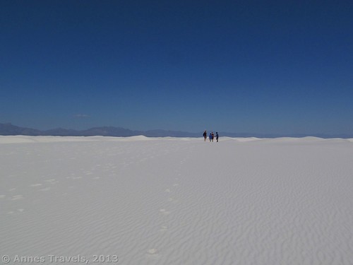
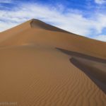
I enjoy walking barefoot in the dunes (there are rarely things to cut your feet in the sand – besides plants, so avoid these). However, you could also wear shoes if you don’t mind them being sandy. Like most sand dunes, White Sands has quite a bit of loose sand that is just hard enough for walking on. The wind is constantly changing the shape of the dunes and covering the footprints of those who’ve come before you. This makes the area seem more pristine and untouched than I’m sure it really is! It’s also nice that we didn’t have to worry about walking across pristine sand – in another few days, our footprints would be erased and it would be pristine again for other hikers.
We spent about an hour walking on the dunes, taking pictures, and jumping down the dunes. The children loved it – not only were we taking a hike, but they could run ahead and jump down the dunes before the older ones of us caught up! We would have stayed longer, but noon was quickly approaching and it was getting quite warm on the dunes (not to mention that the chance of sunburn was also going up – always wear sunscreen when you’re out on the dunes, even if this does make the sand stick to you!).
Return to your vehicle approximately the way you came– this is why I recommend you have a GPS! You can track your wonderings, or you can simply tell it to take you back to where you started. Be careful, however, when using a GPS in such a sandy environment – you don’t want the electronics to malfunction because sand got inside the devise. A compass might also work. There are no maps of the dunes because they are constantly changing.
I can’t wait to go back and take another hike across the dunes. Things that I’d do differently include starting earlier (it was nearly noon when we began our jaunt – thus the dark pictures), starting further from a defined trail, and going further into the wilds of the dunes. However, overall it was a great way to spend a morning and it will be fun to go it again!
Round Trip Trail Length: Varies; mine was 1.2 miles long (1.9 km)
Facilities: Occasional picnic tables and primitive restrooms on the Dunes Drive; full restrooms at the Visitor Center
Fees: $3 per person entrance fee. America the Beautiful (Interagency), Senior (Golden Age), Access (Golden Access), Volunteer, Military, and White Sands Annual Passes also accepted. Children 15 and younger are admitted free. Passes only cover the pass holder and three other individuals – believe me, I travel with at least 5 adults and we keep getting charged for the extra person/people. Ugh!
Getting to White Sands National Monument
From I-25 in Las Cruces, NM, take Exit 6 to US-70 East. Drive about 50 miles (80 km) on US-70, following the signs for White Sands National Monument. The entrance will be on your left. Note: if you’re coming from this direction, you will pass the White Sands Missile Range, which is also very interesting.
From Alamogordo, NM, stay on US-70 when US-70 and US-54 split (there should be signs for White Sands National Monument). Drive about 15 miles (24 km) to the park entrance on your right.
Stop at the visitor center (if you like), drive through the fee station (stopping to pay your fee or show your pass), and then follow the road. It will become a loop after a couple miles (few kilometers). Note: US-70 may be closed at any time for missile testing; White Sands National Monument is usually closed at the same time. Please check the NPS website ahead of time to ensure that the road will be open the day you plan to visit.
Key GPS Coordinates for this Post:
Where I parked at White Sands National Monument on the Dunes Drive: 32.82223N / 106.27263W (32° 49′ 20.0274″N / 106° 16′ 21.468″W)
You can also download the gpx file for this hike:
Download GPS FileFile size: 29.6 KB Downloaded 213 times
(Note: I do my best to ensure that all downloads, the webpage, etc. are virus-free and accurate; however, I cannot be held responsible for any damage that might result, including but not limited to loss of data, damages to hardware, harm to users, from use of files, information, etc. from this website. Thanks!)
Trail 


Road 


Signs 


Scenery 


Would I go 100 miles out of my way for this? 


Overall Rating: 


This Week’s Featured Product!
Learn the difference between a good photograph and an outstanding shot with master photographer and photo editor Art Wolfe and Martha Hill. Composition is covered in detail, including displaying different approaches to the same picture to show the reader how to create the best image possible.

Pingback: 9 Reasons I Wear Hiking Boots instead of Sneakers
Pingback: The 12 Most Popular Pictures on Anne's Travels
Pingback: 10 Places to Go Exploring in the Western US - Anne's Travels