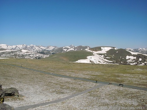
The Trail Ridge Road in Rocky Mountain National Park is an awesome feat of engineering. The road itself twists and turns its way up the side of a mountain, then across the tundra and down the other side, giving drivers—or should I say, passengers; the drivers are busy watching the road—magnificent views of the Rocky Mountains. Just before the highest point on the road is a wonderful little place to really experience the grandeur of the scenery the road winds through, and to allow drivers to get their eyes off of the road for a moment to enjoy the views as well. The viewpoint I’m talking about is the Tundra Communities Trail, otherwise known as the trail to the Toll Memorial, a ½ mile trail across the tundra to—and through—outstanding views of Rocky Mountain’s Front Range and Never Summer Range. Other features along the way are some volcanic mushroom rocks and small signs that tell about life on the tundra, as well as early visitors to the area. It’s well worth the short hike through the oxygen-deprived air all the way up to the memorial.
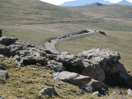
To get to the trailhead from the east, take the Trail Ridge Road up past Beaver Ponds, Rainbow Curve, many Parks Curve, the trailhead for the Ute Trail, and Forest Canyon to the view point for Rock Cut. Just beyond this—or just across the road on your right—is the parking area for the Tundra Communities Trail. The parking lot is fairly small and fills up quickly, even though it has been expanded in recent years. There is a primitive toilet here. To come in from the west, take the Trail Ridge Road up past the Alpine Visitor Center and the Lava Cliffs viewpoint to the trailhead on your left.
The Trail Ridge Road goes along a ridge by the name of “Trail Ridge” (named after the Ute Trail, a route followed by the Ute Indians from their summer hunting grounds down to the plains and back again the next year). Most of the road is closed from mid-October to Memorial Day, and even after that there is typically snow along the road or not far from it. During the summer months, the road is often under construction, so be prepared for substantial delays.
The trailhead starts from the parking lot (it’s not hard to see the trail, although there are many signs requesting you to stay off of the tundra and on the trail and sidewalk). Supposedly, the Tundra Communities Trail is wheelchair accessible, but don’t try it unless you don’t mind fairly steep hills, lots of potholes, and missing pavement in some sections. It would be fine for a stroller, but I’m not sure I’d take a wheelchair on it.
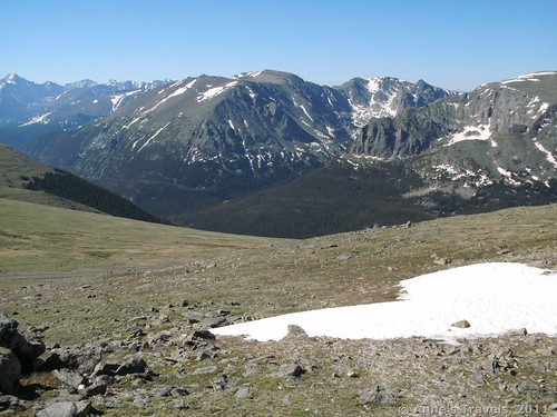
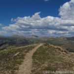
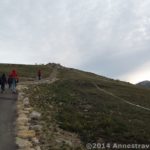
The trail itself fairly quickly begins to ascend the hill at a steepness that makes you want to stop and catch your breath every 20 paces or so. You’re over 12,000ft here, and the amount of oxygen in the air at that elevation is significantly less than even in Estes Park. So, I’m not sure the breathers are really from the steepness: more likely they are from the lack of oxygen! Anyway, there are interpretive signs along the trail that talk about the plant communities and early visitors to this region. You can stop at these to read when you’re catching your breath. Some of the exhibits are fascinating. Also, don’t forget to look behind you at the tremendous views of the Never Summer mountain range across the valley. The views of this range are best in the morning.
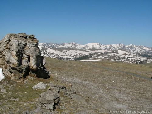
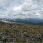
Eventually, the path will begin to flatten out a bit, and even go a little downhill. Then, over on your right you will see some strange monoliths that look like they were made out of volcanic rock. Definitely take the trail to take a closer look at these, as well as to look out across the vista behind the monoliths. It’s stunning!
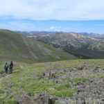
The trail continues to wind its way across the tundra for a little while longer, and then ends in some more monoliths with the Toll Memorial. A plaque commemorates Roger William Toll who during his career was the superintendant of Mt. Rainier, Rocky Mountain, and Yellowstone National Parks. The plaque itself isn’t that interesting, but up on one of the monoliths is a metal cone that points the direction of many different destinations, some thousands of miles away! If you make it this far, it’s definitely worth climbing up here to see it. And don’t forget to look at the views; they’re even better than what you saw at the parking lot!
Return by the way you came. It’s mostly downhill, so it’s much easier than puffing and panting all that way up.
Fees: $20 per vehicle entrance fee to Rocky Mountain National Park, good for 7 consecutive days. Rocky Mountain National Park, Rocky Mountain National Park/Arapaho National Recreation Area, America the Beautiful, Golden Age/America the Beautiful Senior, Golden Access/America the Beautiful Access, and America the Beautiful Volunteer Passes also accepted.
Trail 


Road 


Signs 


Scenery 


Overall Rating: 


This Week’s Featured Product!
Discover some of the best views in Colorado in this book!



Tremendous content ! This could possibly help many peoples instruct about this matter. Do you want to include video clips besides these? It will certainly help out. Your ground was spot on and owing to you ; I maybe will not describe all sorts of things to my friends . I could easily pass them here.
It is a problem I need to find more information about, appreciation for the blog post.
Burton,
Yes, at some point in the future I may add some video clips, especially if they help to describe a destination.
Anne
Pingback: Anne's Travels » Top of the Old Fall River Road
Pingback: 11 of the Best Dayhikes for Mountain Views of Colorado - Anne's Travels