
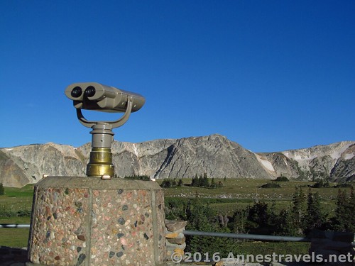
At the Libby Flats Observation Site overlooking the Snowy Range, Wyoming
Here are some of the travel resources I’ve used over the years. Hopefully you will find them helpful as well.
Books

See the books page.
Websites
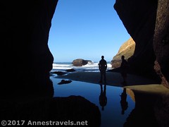
Exploring the Punchbowl, Oregon
See the websites page.
Maps
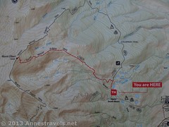
Map at the Mt. Elbert, CO, Trailhead
The American Automobile Association (or the Canadian branch) offers free maps to members. These are detailed and much, much better than you’ll pick up at a state’s welcome station. Maps of states, nations, regions, and cities are often available.
Your local library may also have atlases available for check out. I’ve even found topo maps available for check out.
The United States Geological Survey offers free topo maps here. Search or click on an area and they’ll tell you the maps available. They’ll try to make you print it, but there’s no need: simply download the zip file, and a pdf file within the zip can be opened and printed.
You can also Browse Anne’s Travels by map
Other Resources
Also see my FAQ and Helpful Travel Info